Historical Vignettes
Dive into history with a look at these historic topics!
The 1867 Treaty of Cession transferred ownership of the Alaskan Territory from Russia to the United States. It ...
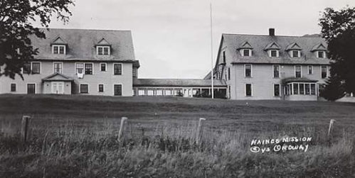
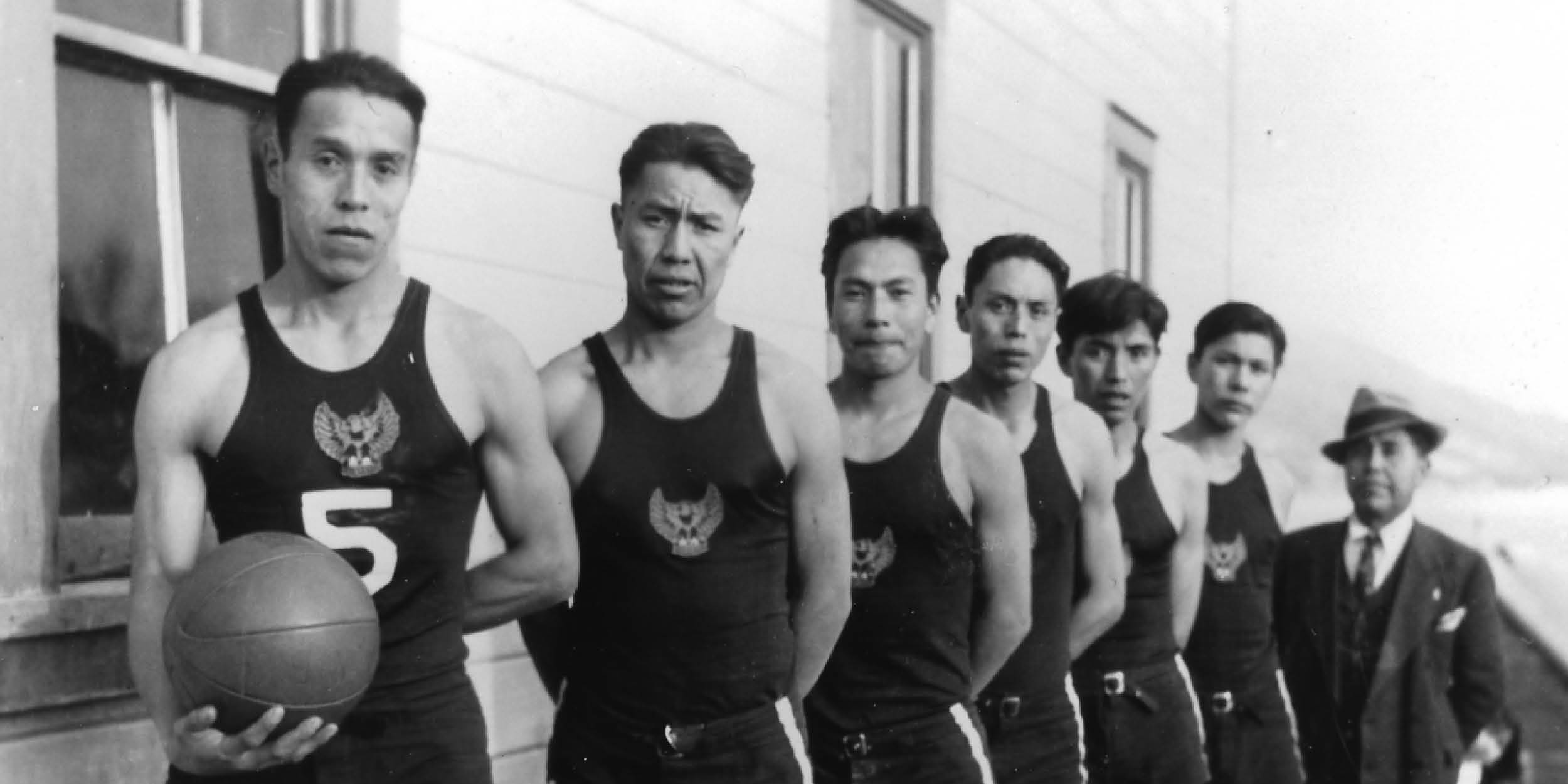
Haines House served as a "home" for many Alaskan children from l921 until l960. It was designed to serve orphans, ...
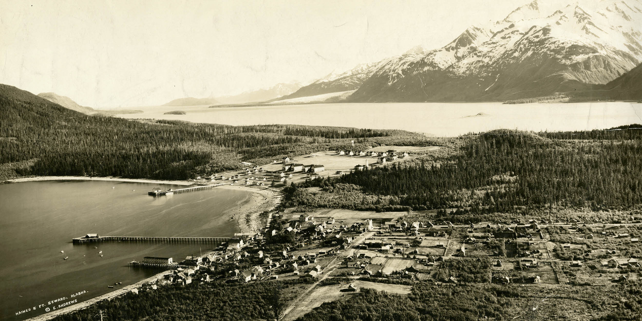
A classic view of Fort Seward, Haines, Alaska taken from picture point.
“The History of Haines is rich and ...
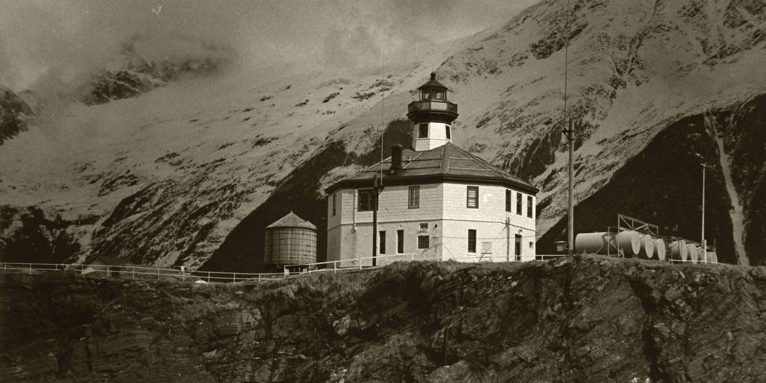
Eldred Rock Lighthouse, 1996.
In the stormy waters of the Lynn Canal sits a small island surrounded by majestic, ...
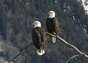
An American bald eagle perched in a tree in the Chilkat Bald Eagle Preserve.
Almost 4,000 American bald eagles ...
Under military supervision, civil service employees operated the Haines to Fairbanks military pipeline from ...
Haines Highway construction, 1943.
The Haines "Cut-Off" Road, approximately 160 miles of spectacular beauty, ...
"The Post"
Fort William H. Seward in its heyday, circa 1930s
Units of the U.S. Army were in Alaska while the ...
David Hotch in the process of making a cottonwood canoe in Klukwan, 1953-57.
Use of local timber resources began ...
Porcupine town site 4th of July, 1901. Note both the U.S. and Canadian flags are flying due to the border dispute ...
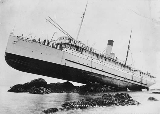
Subtle Treachery: Shipwrecks of the Lynn Canal and Juneau Area
The soaring mountains and pristine waters of ...
Close-up view of a large three-masted sailing ship moored in front of Pyramid Harbor Cannery, on a calm day. ...
Soldiers from Fort Seward holding up a string of trout probably caught on Chilkat Lake, 1911-1913.
The seafood ...
Blueprint of the proposed Haines to Fairbanks railroad.
With only a little imagination one can bring alive a ...
A view of Mount Ripinsky and Haines in fall of 2011. The mountain was named in honor of Solomon Ripinsky.
In ...
Steve Sheldon and members of the Sheldon Family were prominent figures in Haines and instrumental in the ...
Jack Dalton was either a "dapper, well-dressed ladies man" or a "scoundrel" depending on who you asked.
The ...
1857-1949
Charles H. Anway, 1940s.
Charles H. Anway was born on 1 May, 1857 in Ionia County, Michigan to Mr. and ...
Spruce Root Baskets
"It happened when the Raven still walked among men. A woman who lived in a cloud village had a ...
"There is an old story that says how some strange people came from the western ocean. Among them were two sisters. ...
Modern-style smoked salmon: a staple on many Alaskan tables. Photo courtesy of Wikimedia Commons.
At one time ...
Raven Yakutat Tlingits at a Sitka Potlatch, Dec. 9th, 1904.
The word "potlatch" means "to give" from the Chinook ...
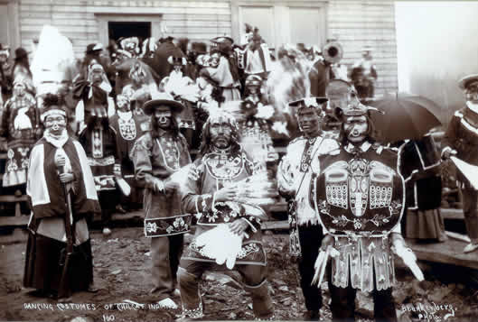
Dancing regalia of the Chilkat Tlingits gathered at a potlatch in Klukwan, circa 1900.
Dance, for the Tlingit ...
A Chilkat Blanket on display at the Sheldon Museum featuring a bear design woven by Jennie Thlunaut.
"Long ago ...
Local Mastercarver Jim Heaton instructs students during the 2005 restoration of the Haines High School Friendship ...
No results found.